Mount Yale! Colorado - 14,196'
South Face Route
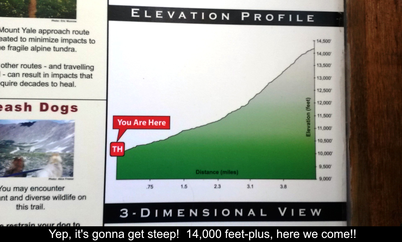
9.5 Miles Round Trip
4300 feet of elevation gain
Mount Yale is in the Collegiate Peaks of the Sawatch Range just outside of Buena Vista. If you're looking for
a great challenge a bit outside of a pure class 1 walk up , this is a great choice. Most of the hike is a
normal hiking trail but near the summit there is a high ridge that provides a great foray into scrambling
with a wee bit of exposure.
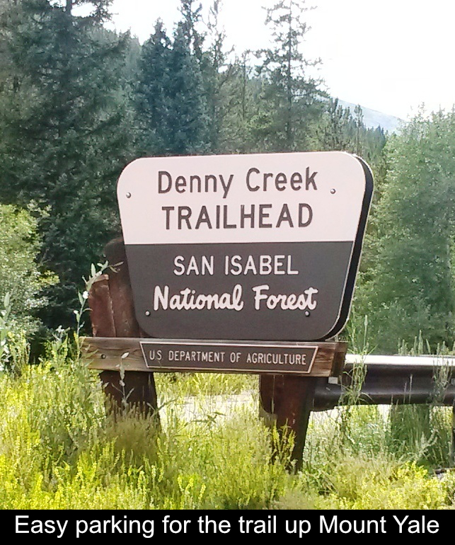
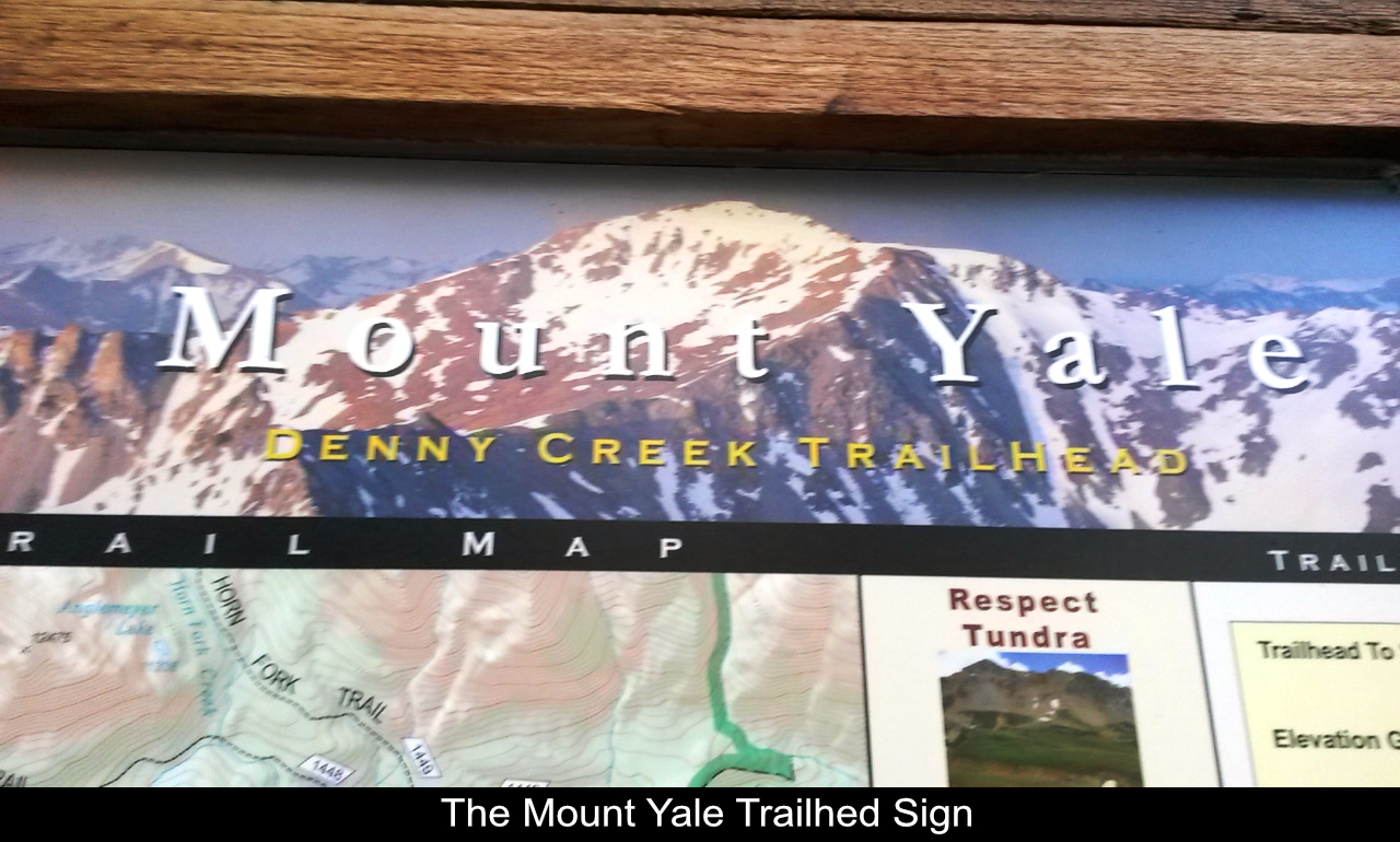
Another great thing about Mt. Yale's standard route up the South Face is that the parking is super-easy! The
Denny Creek trailhead is right off a paved road and accessible by any car!
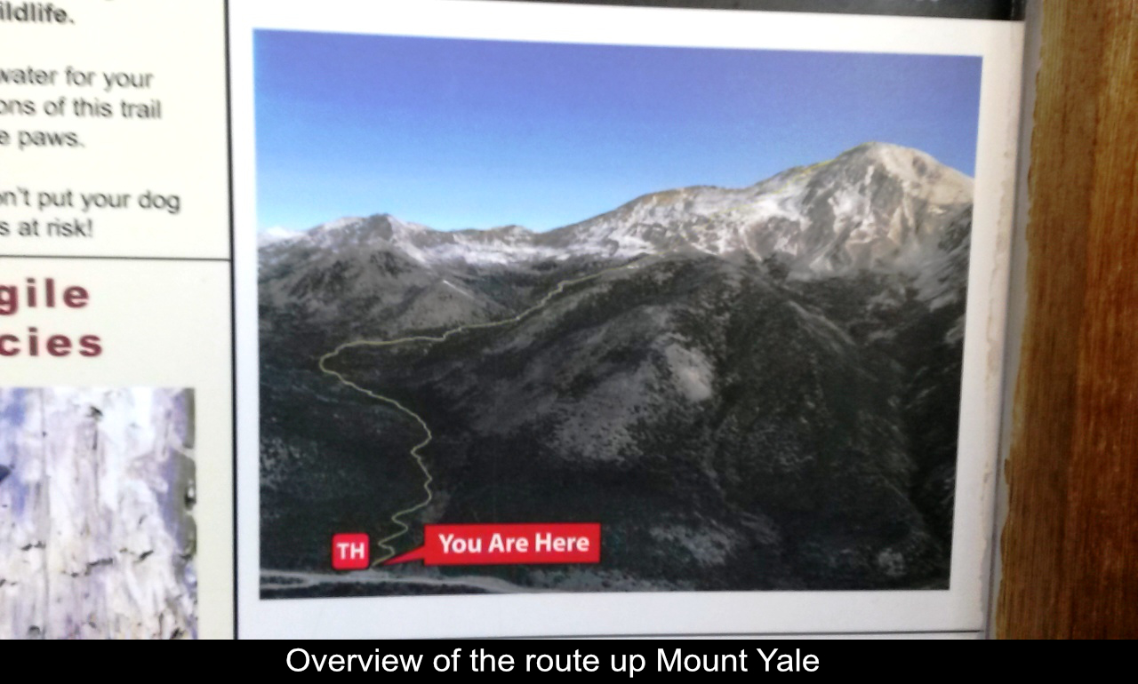
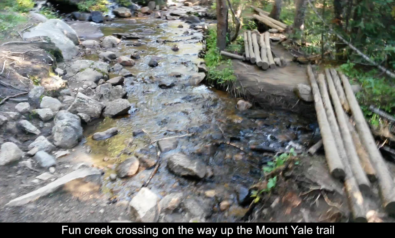
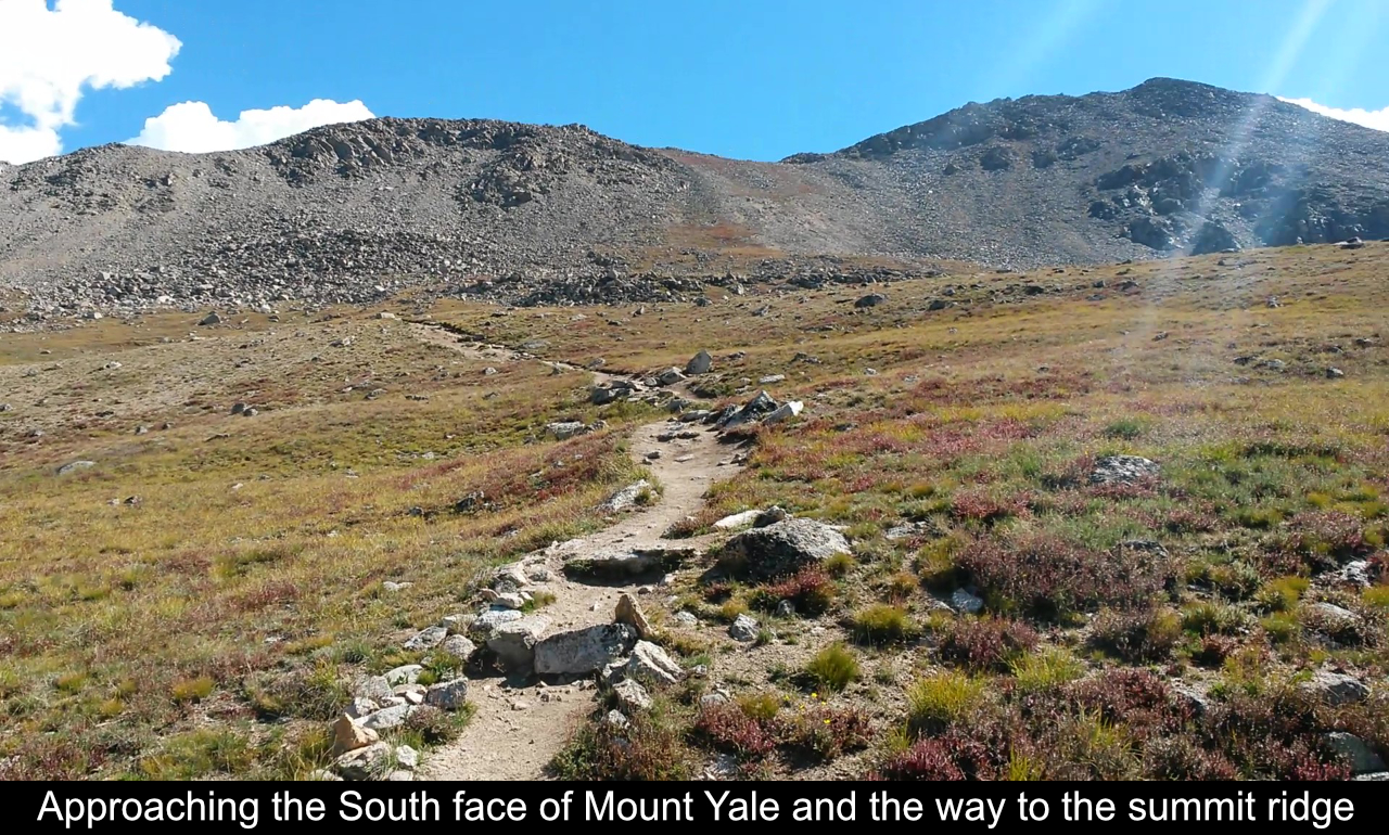
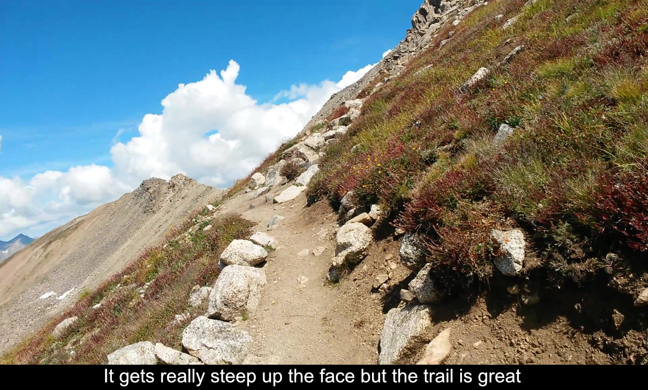
Heading up the trail, the alpine areas are neat with a few turns and creek crossings. As you begin to move
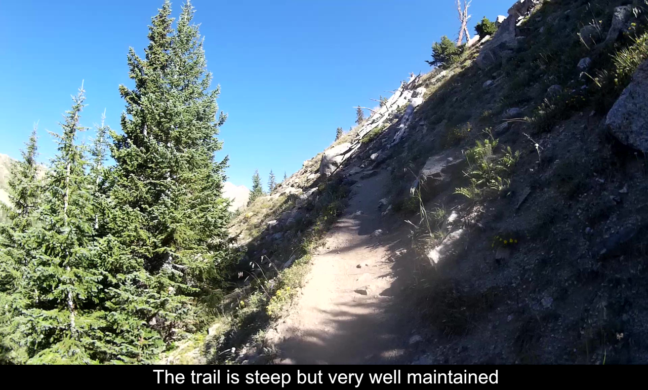
up, you can really notice the work that the Colorado 14ers Initiative has done on this trail ... it is just great. Higher
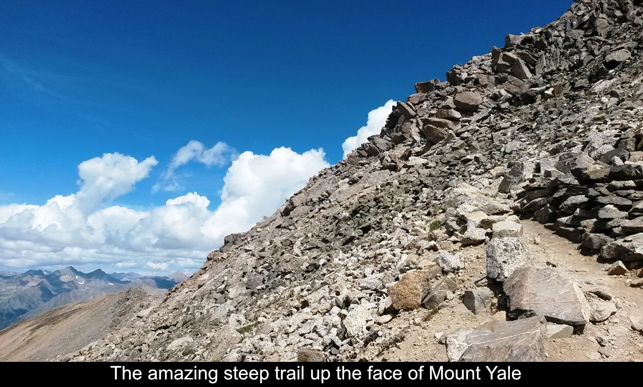
up in the alpine areas, the trail does get steep! And it remains steep pretty much all the
way up the face to the summit ridge. But no worries, the trail work makes even the steepest sections very
easy (other than the cardio of going up!!).
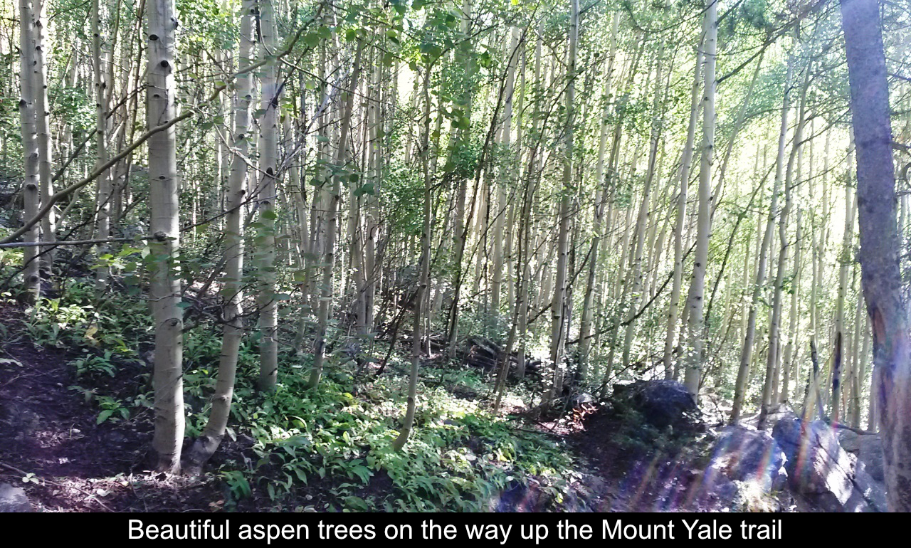
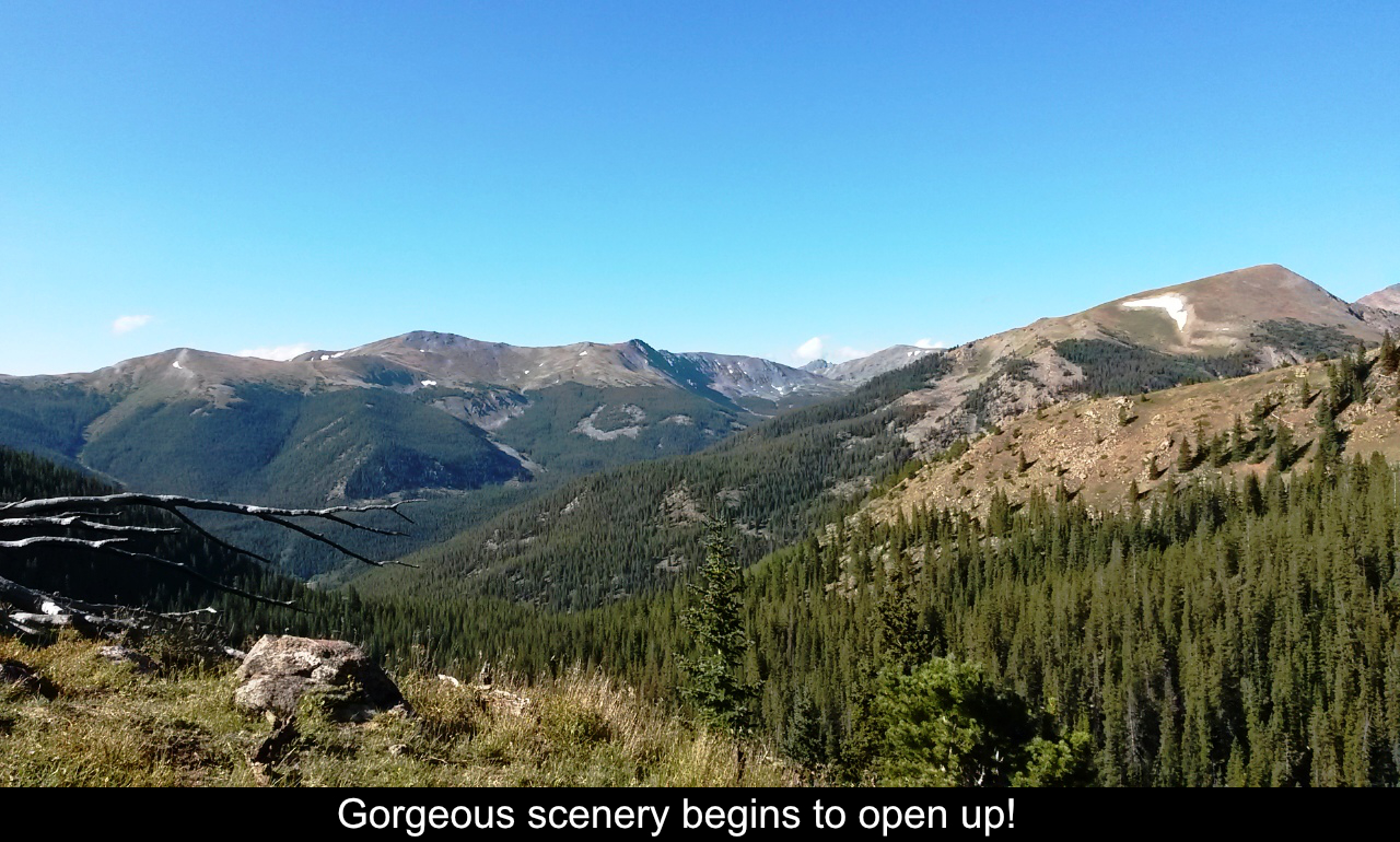
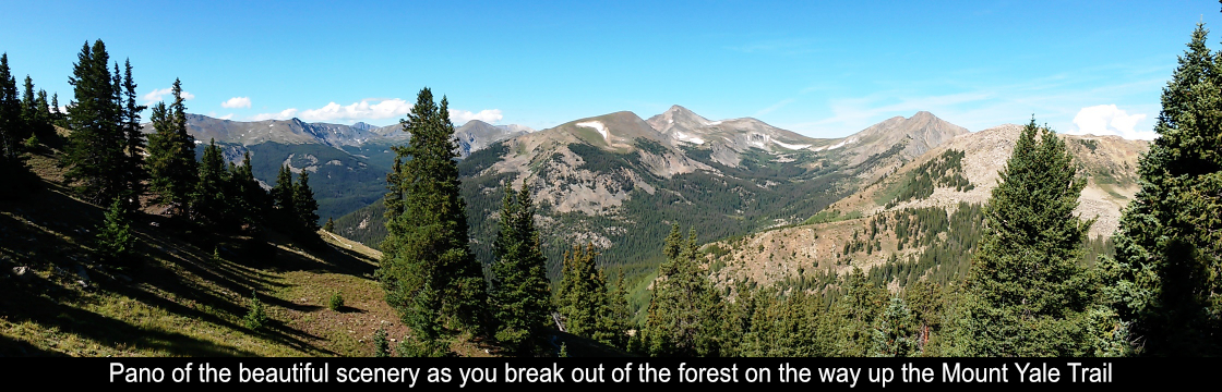
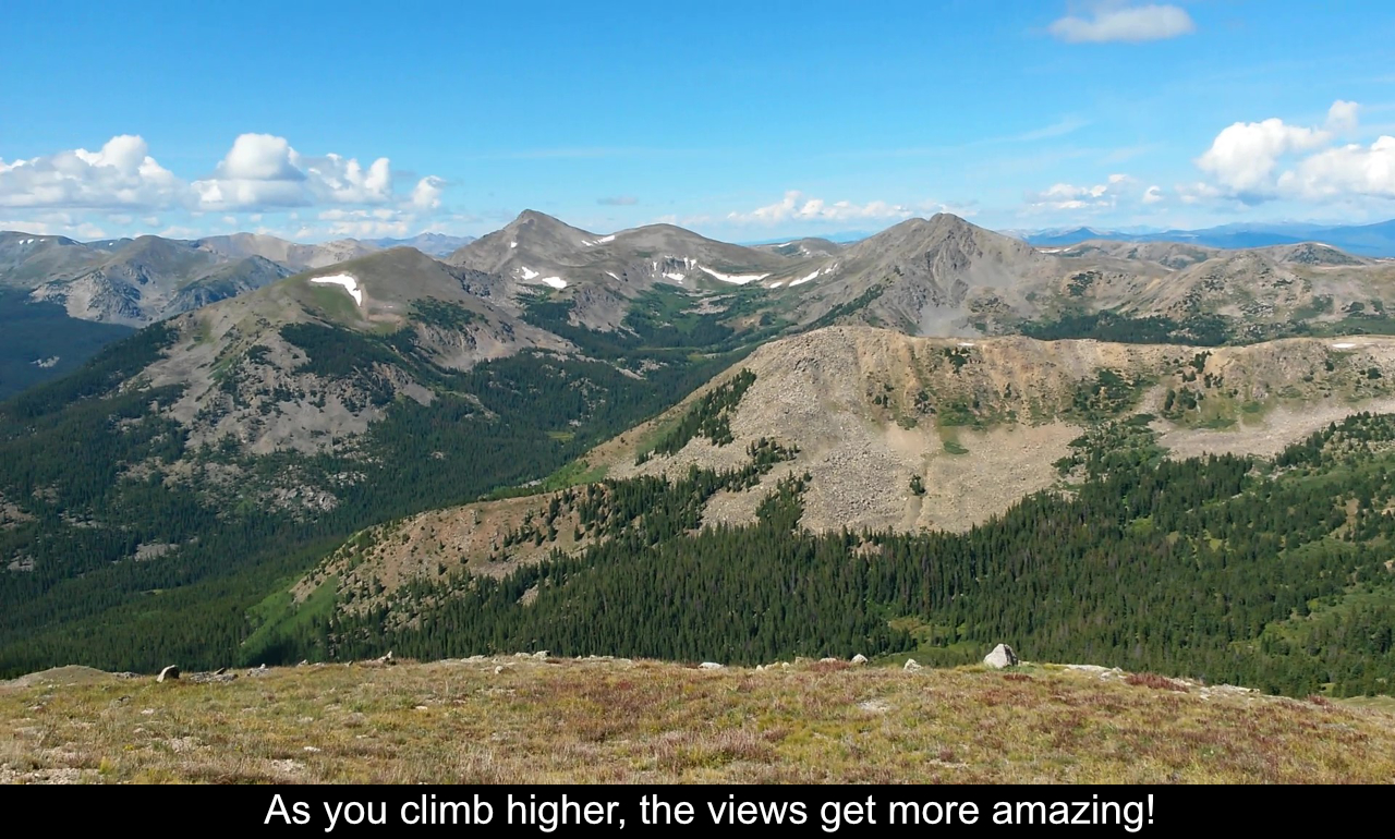
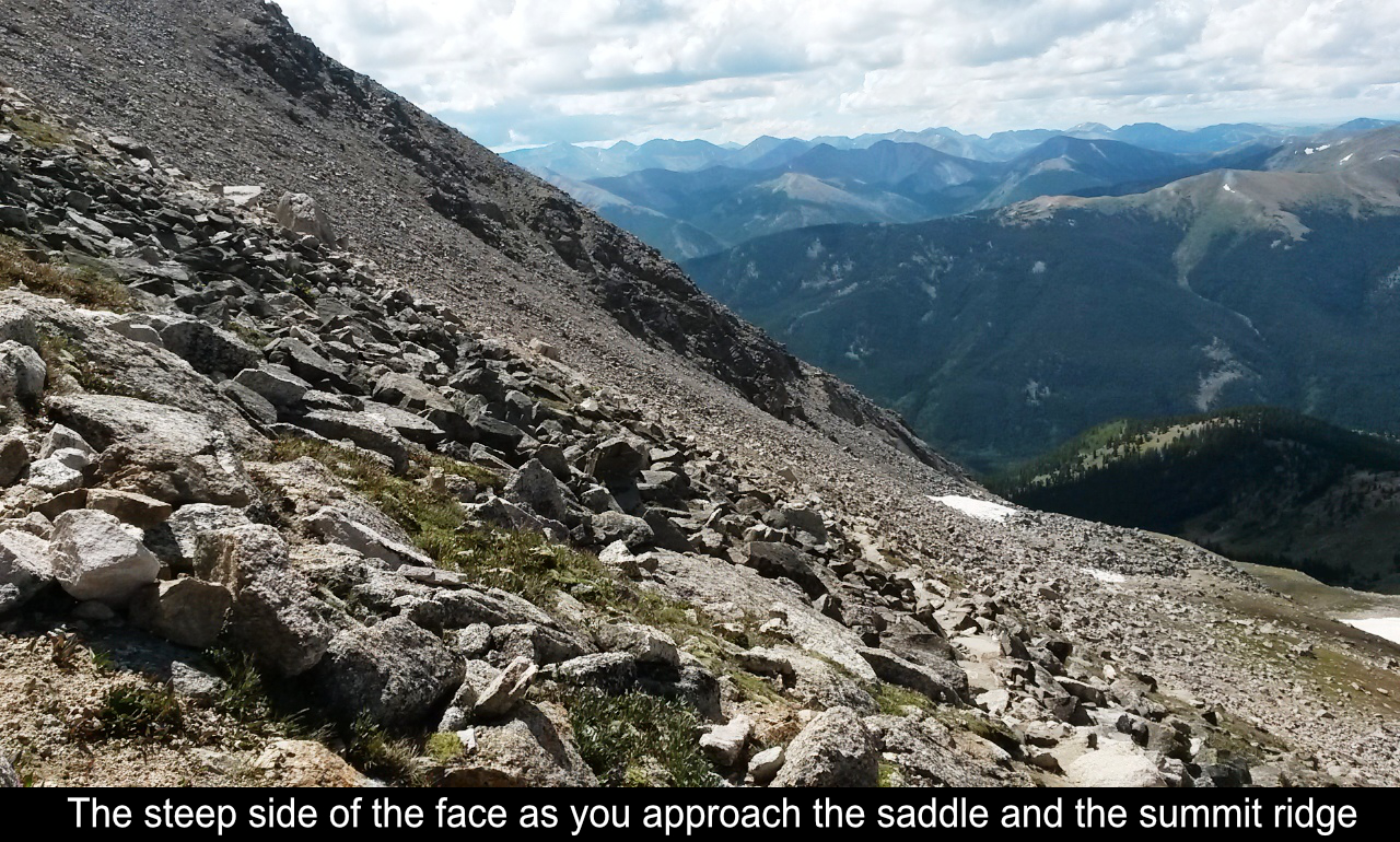
Once you break out of the trees, the views open up. What a gorgeous area. The trail winds all the way
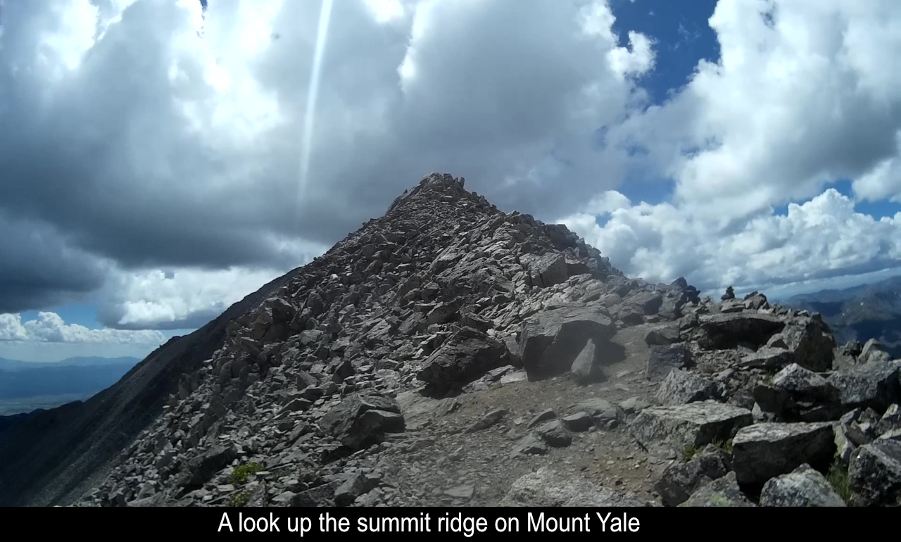
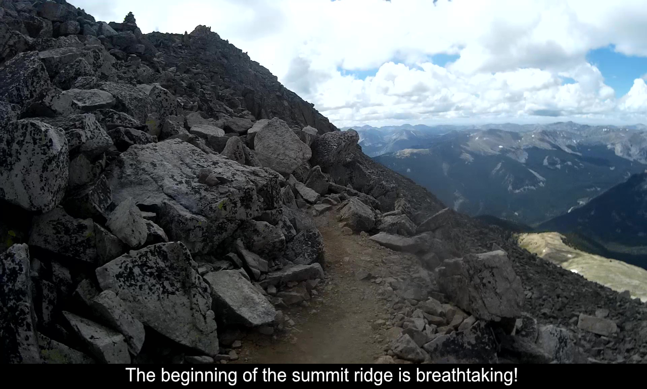
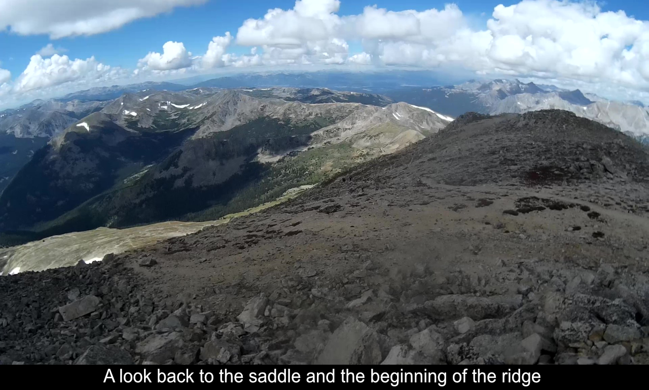
up the face until you hit the saddle and the summit ridge.
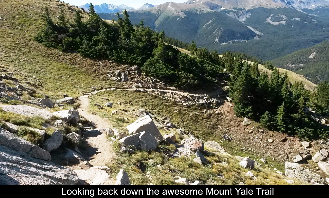
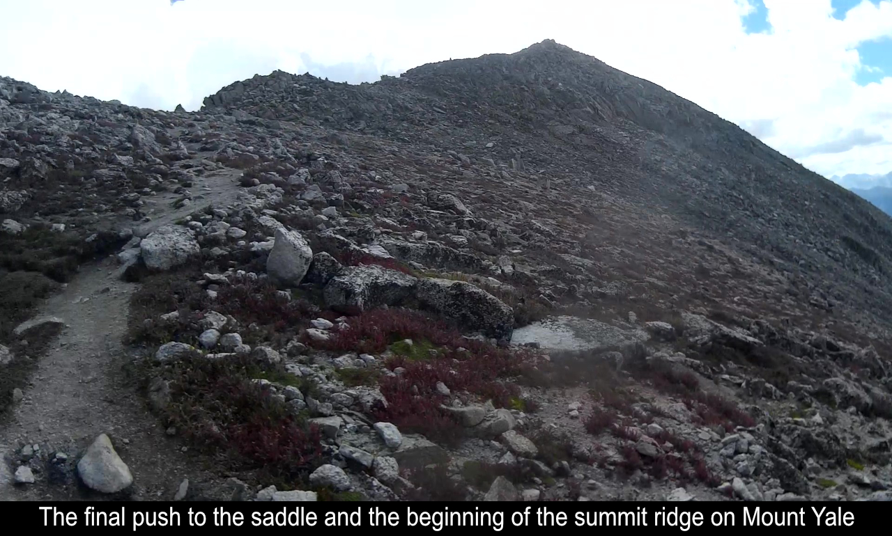
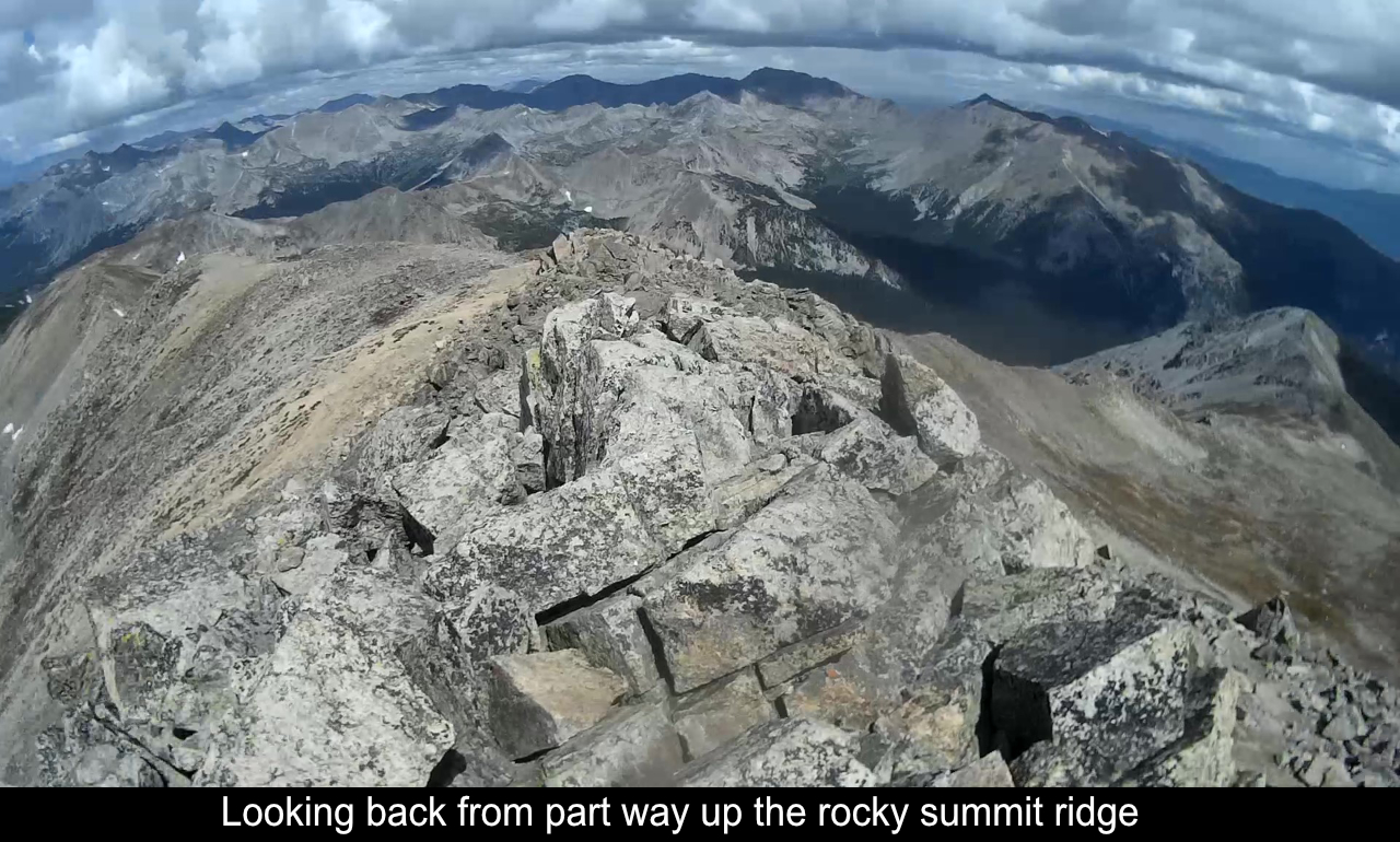
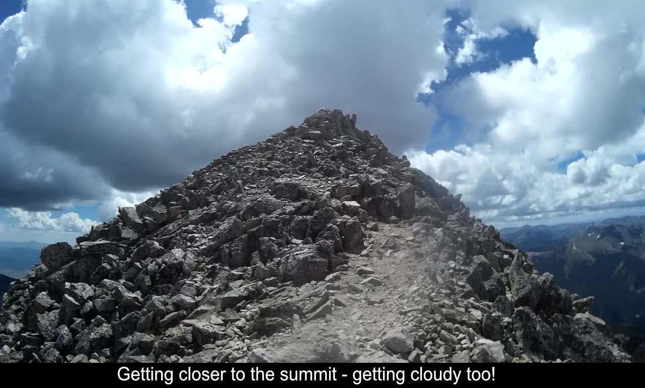
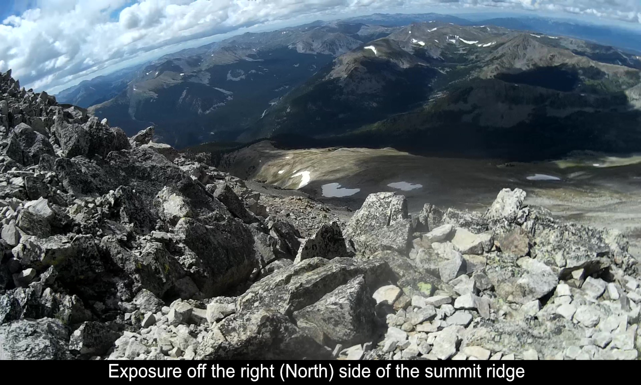
The summit ridge!! This is where the fun begins! In retrospect, the summit ridge was really not bad at all. But this was one of the first few 14ers I had
climbed, and I was solo, and it was a bit intimidating. Part of what unnerves the newbie is that it is
just so high up! It is just airy! Imagine you were on a secure edge of a skyscraper. There's no real
danger of falling but you're just so high it makes you a bit nervous. And 5-10 feet away there is actual
exposure! You're not really exposed though as you don't end up having to go along the very edge. But this
is the great part of this ridge. It really made me get used to being up so high and seeing some exposure
where subsequent 14ers with some exposure have started to get much easier.
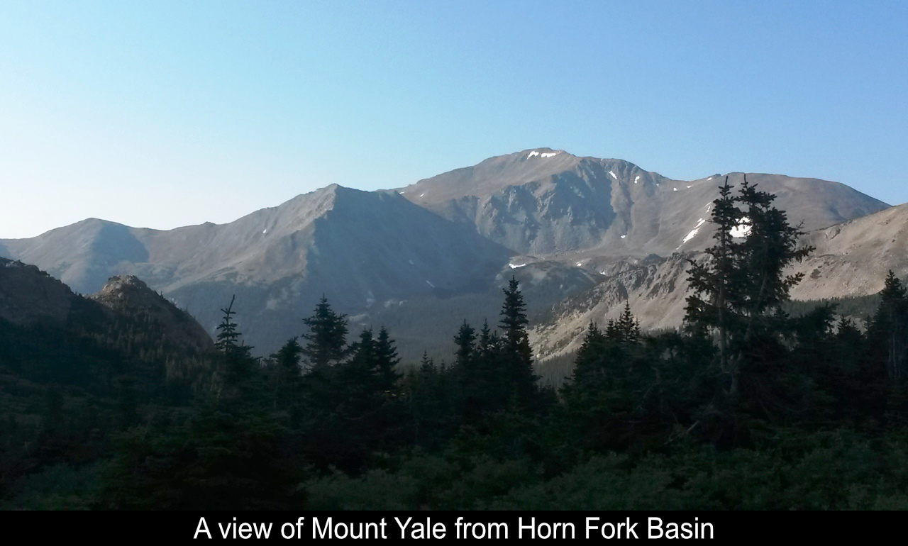
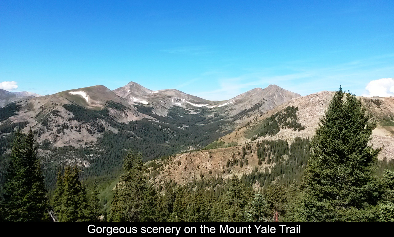
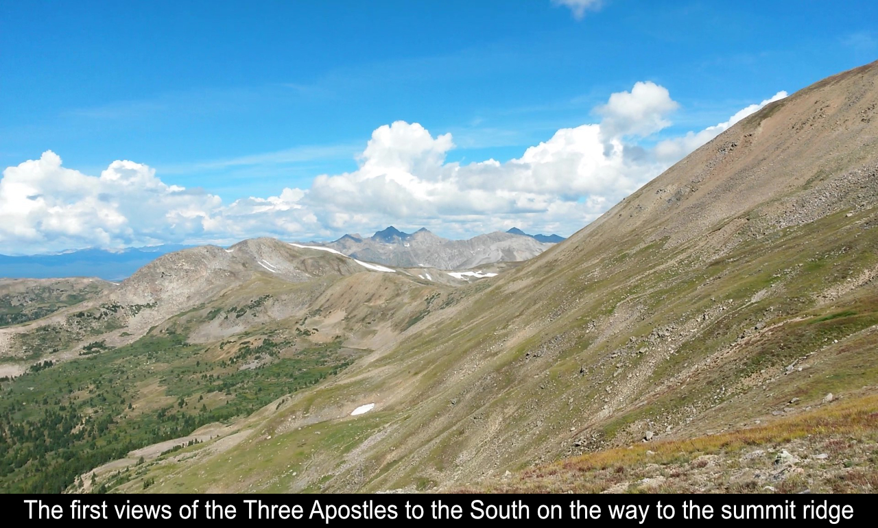
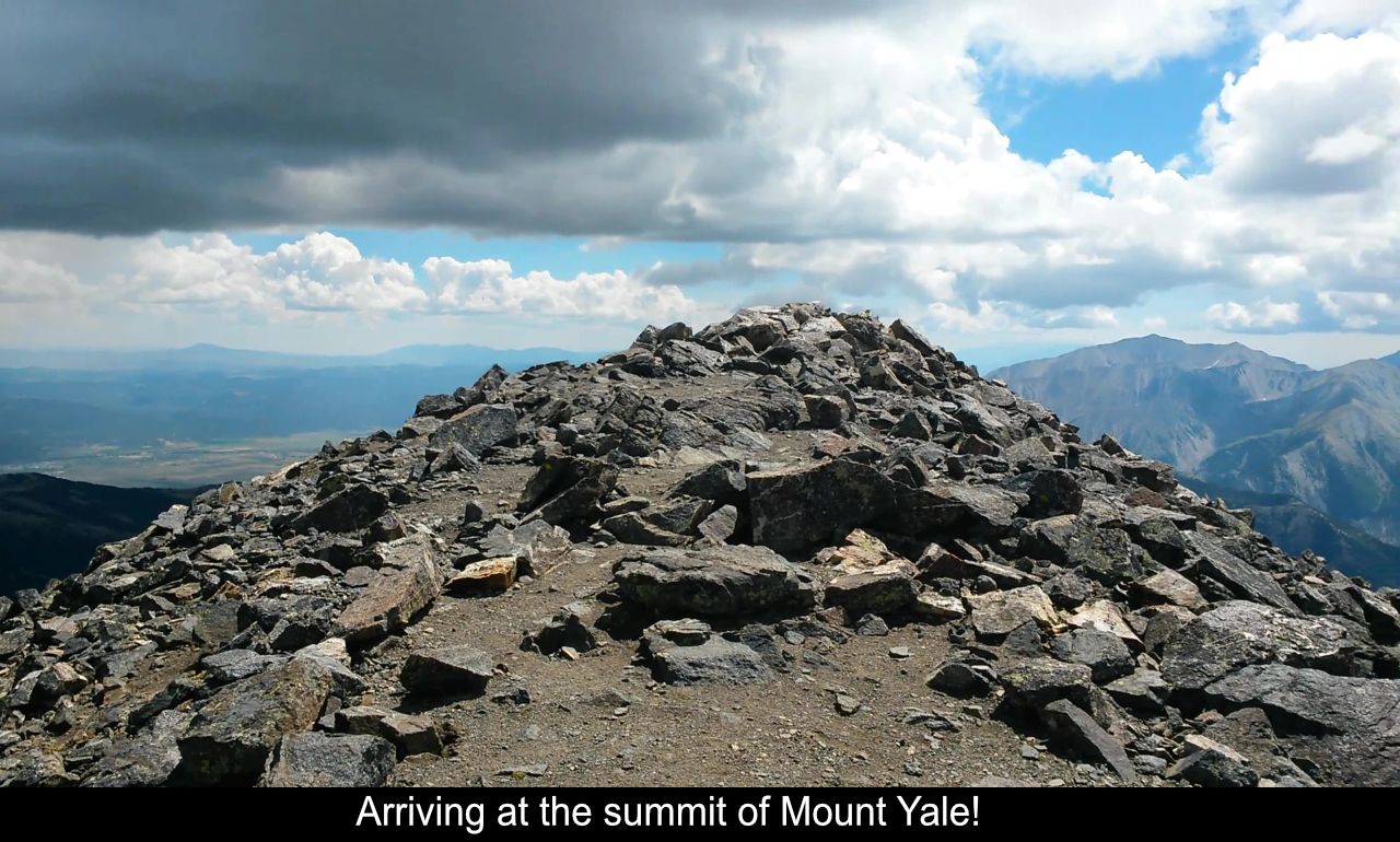
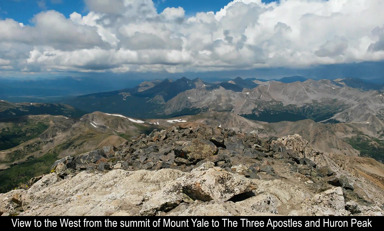
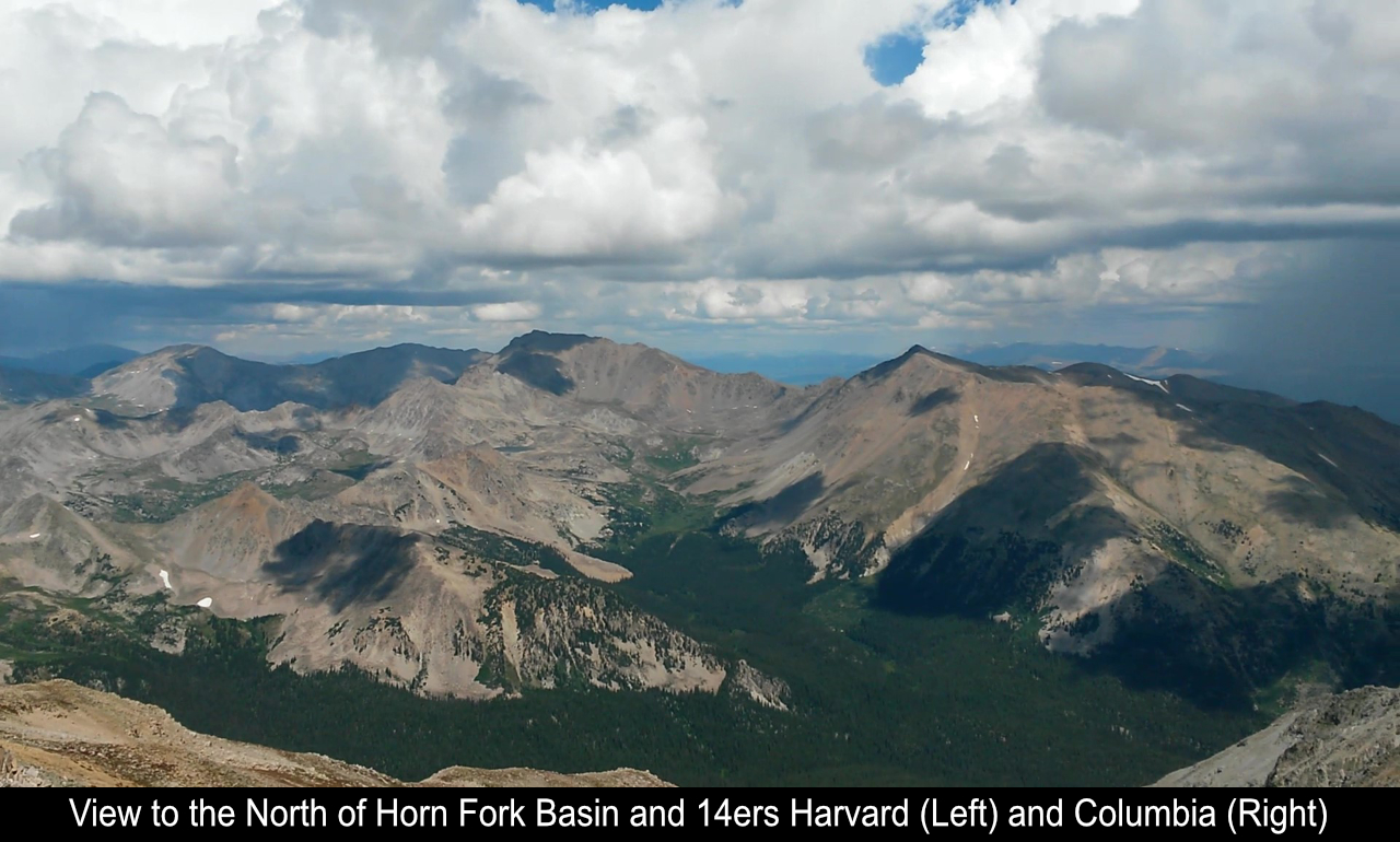
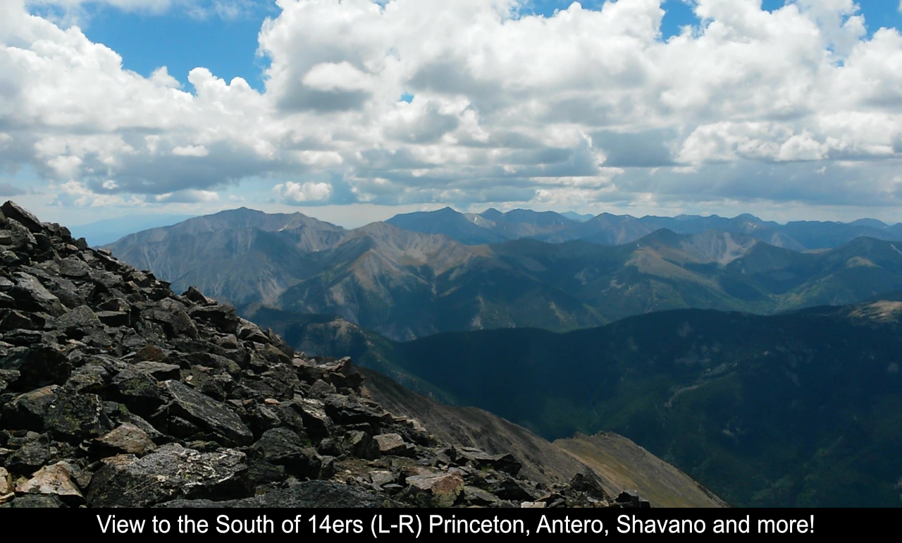
The views from the summit of Mount Yale are incredible. To the North you see the gorgeous Horn Fork
Basin which leads up Mount Harvard and Mount Columbia. To the West you see tons of gorgeous peaks with
the 3 Apostles and Huron Peak standing out. And to the South are the southern Sawatch peaks of Mount
Princeton, Mount Antero, Mount Shavano, Tabeguache Peak and then beyond.
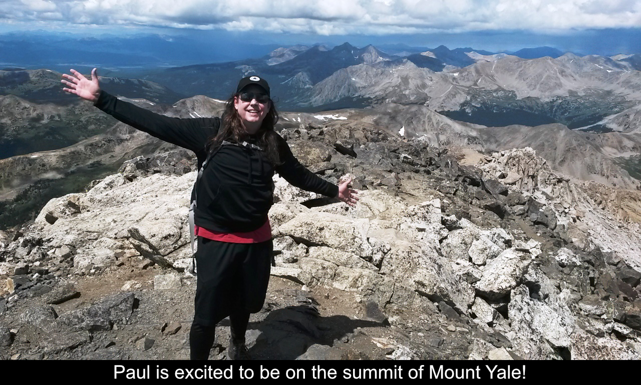
I really loved this hike.
Hope this has been enjoyable and / or helpful to anyone reading it!!
Comments
Add Comment:
Name:
Comment:
Comments ReCaptcha (to verify you are actually a person)
Please click the ReCaptcha button below. Sorry to do this but we had robots posting spam messages on this blog and this prevents that.