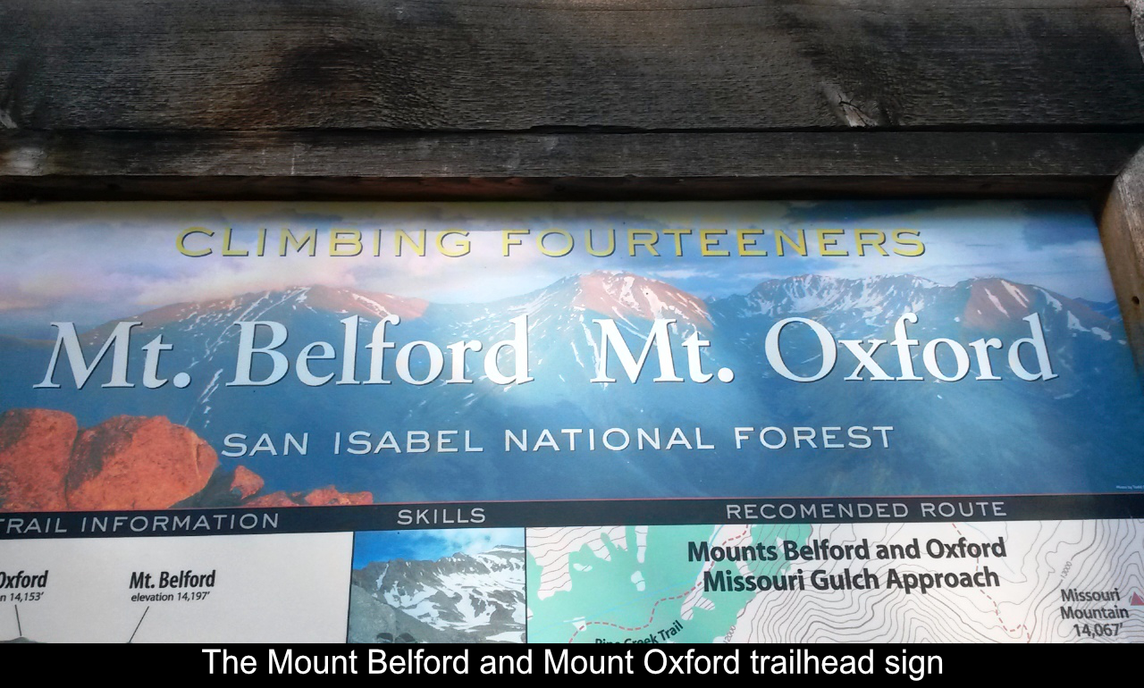
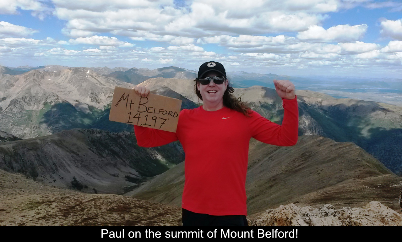
Mt Belford! One of several 14ers that can be accessed from the Rt 390 Chaffee County Road
between Buena Vista and Leadville, the drive into the trailhead at the Missouri Gulch parking
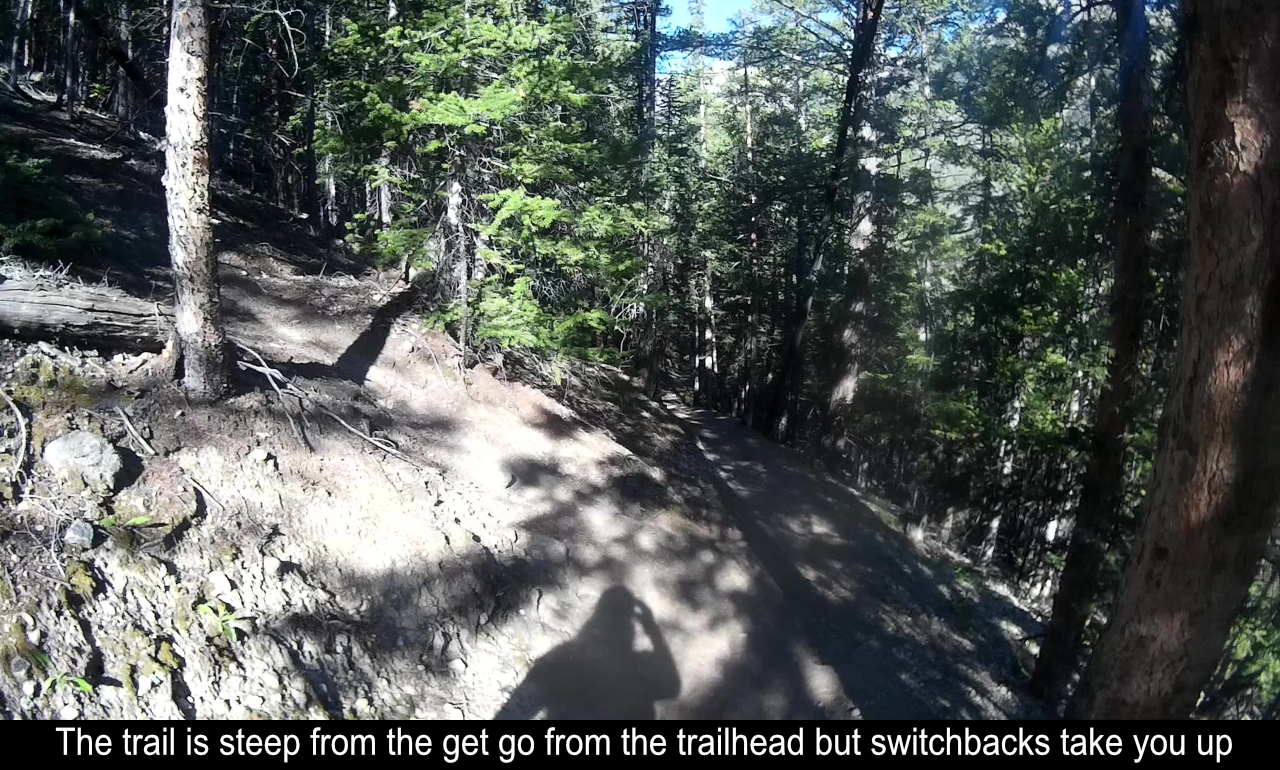
area is easy. But that's it for the easyness! This hike gets your heart pumping right from
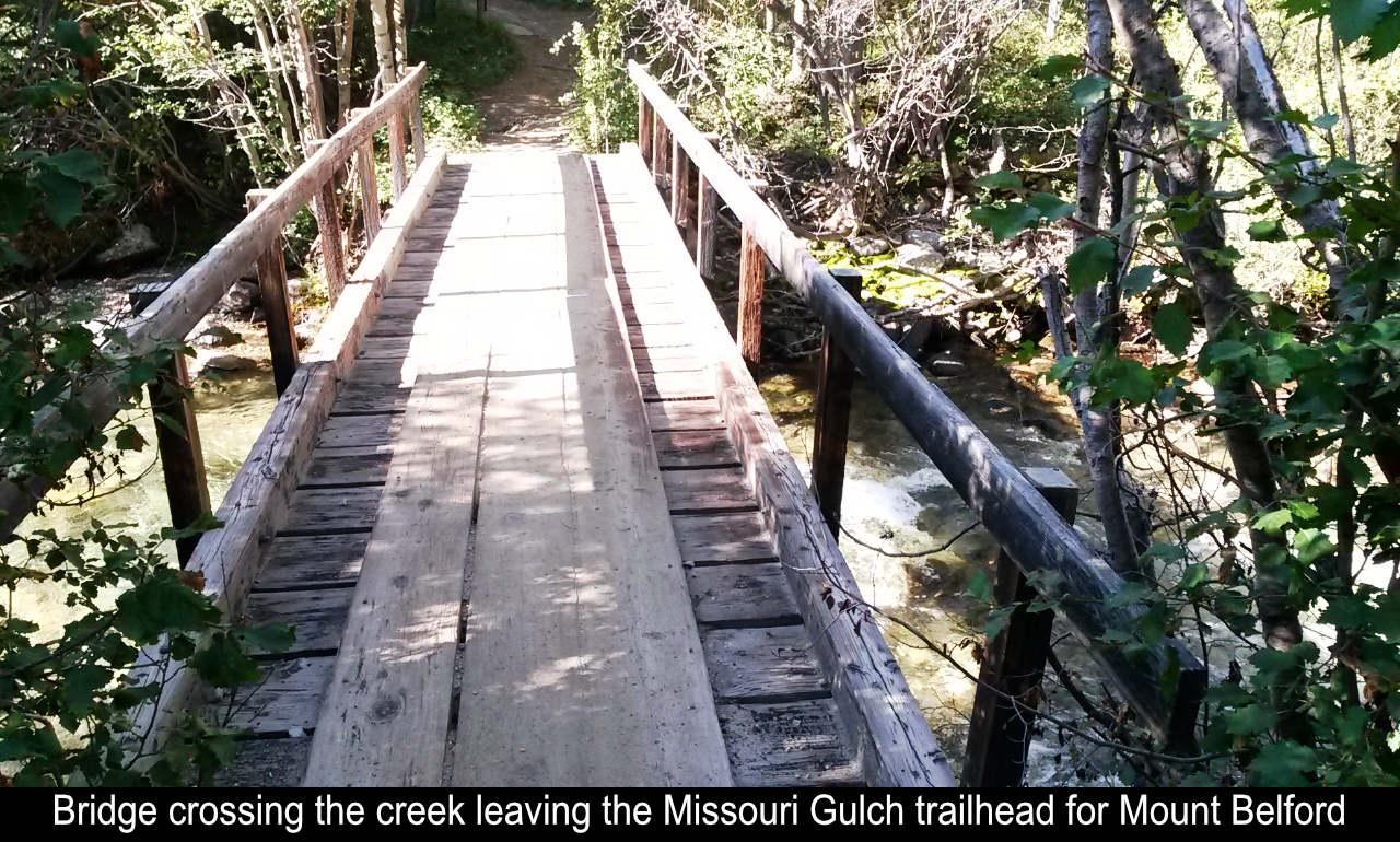
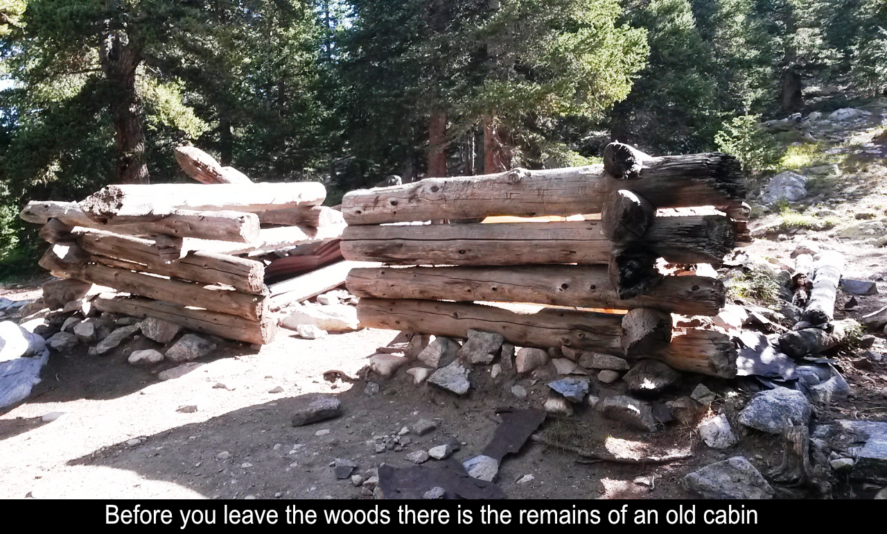
the get go! Once you cross a bridge over a creek, the trail begins steeply up through the
woods. A whole bunch of switchbacks gets you up to the Missouri Gulch, but there is no warm up
for this hike.
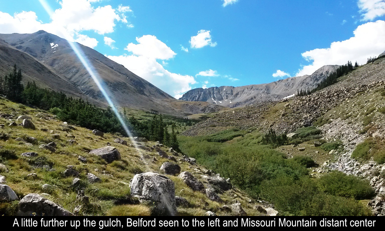
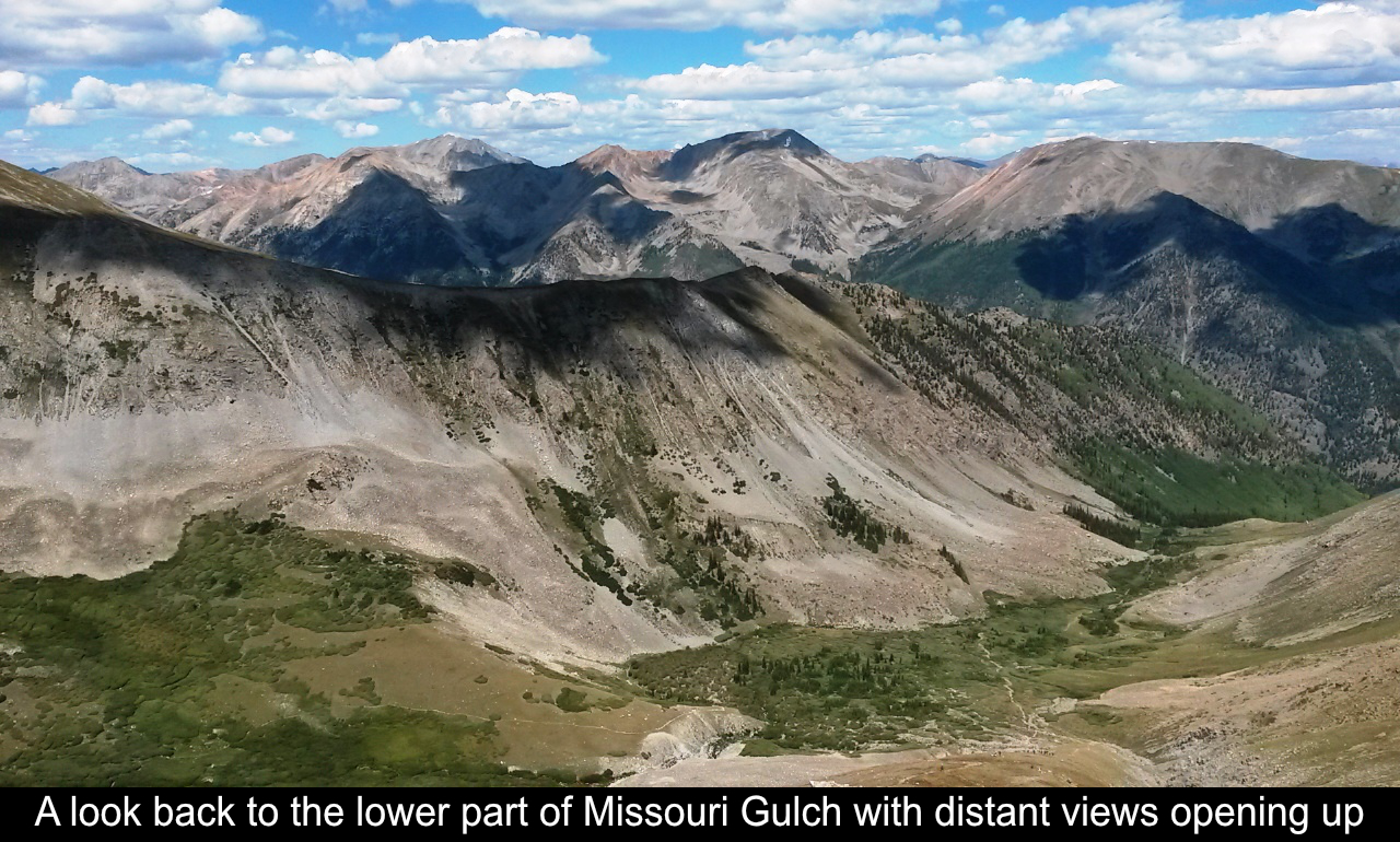
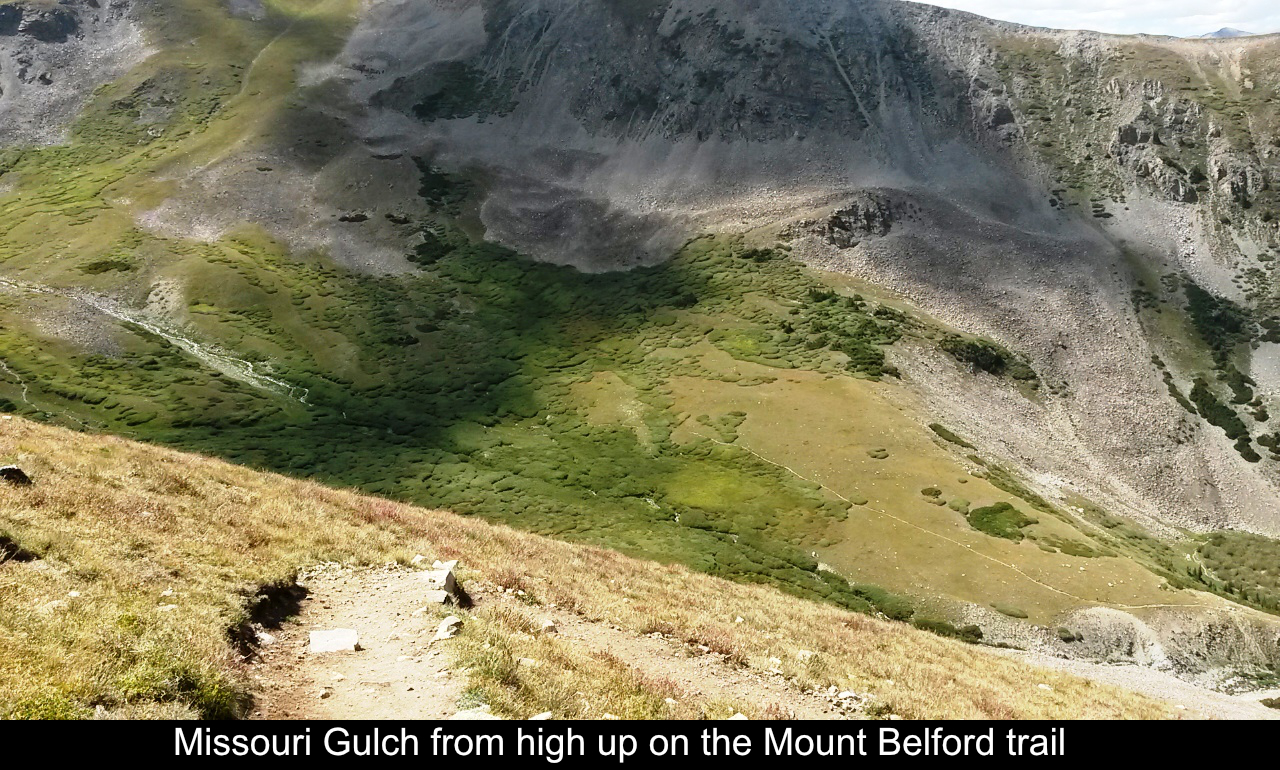
The Missouri Gulch trailhead is also one way up Missouri Mountain, as well as Mount
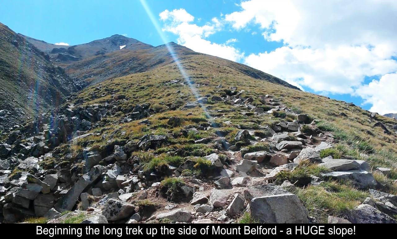
Oxford, all 14ers. As the views open up as you enter the gulch, Mount Belford is on the
left and Missouri Mountain is on the right. The trail up Belford goes straight up a HUGE
slope! You can begin to see the switchbacks up the mountain and you know it's going to be
a long slog.
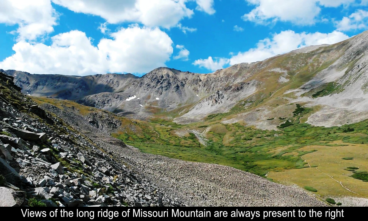
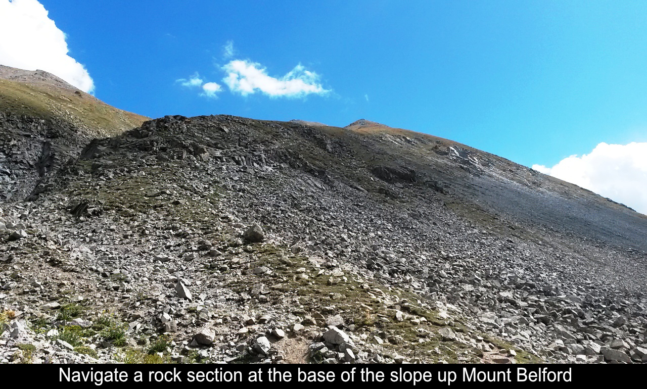
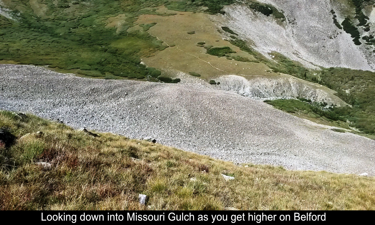
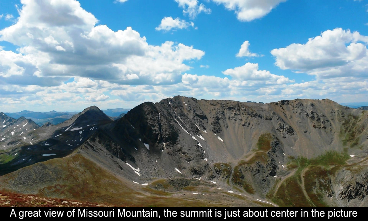
As you make your way up the the slope, at first you cross a very rocky section and
some steps. Then you begin the switchbacks. The pain of the grueling ascent is immediately
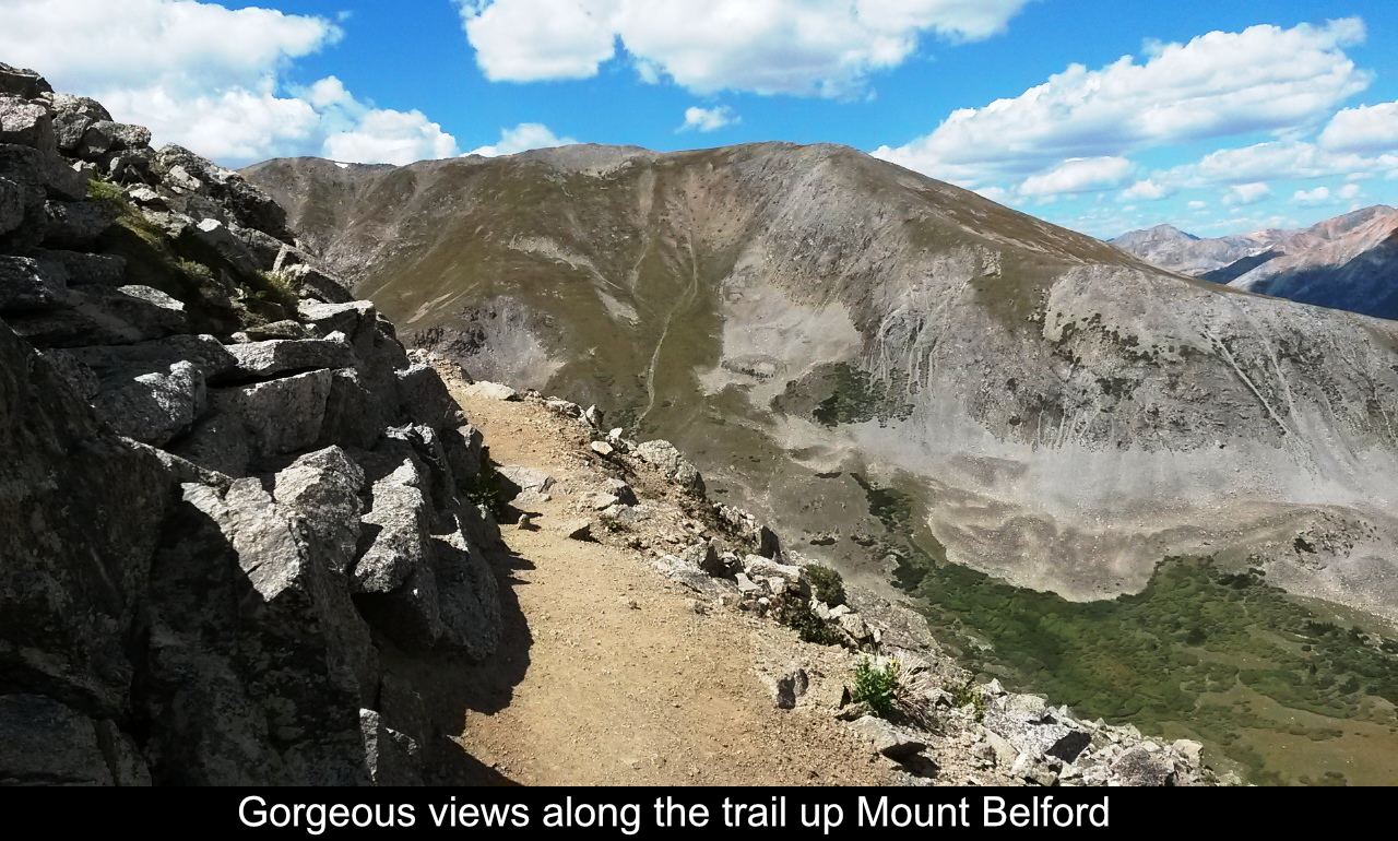
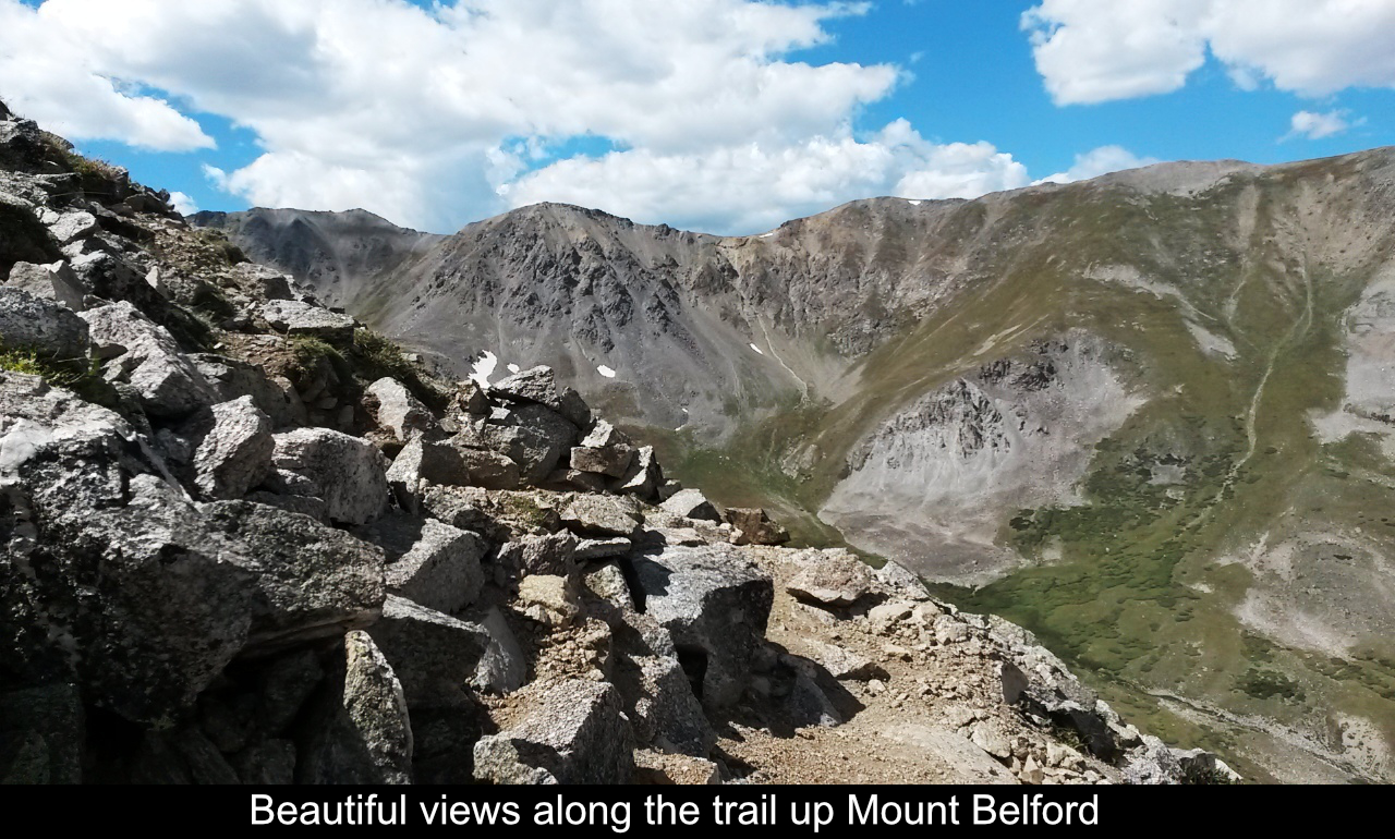
countered by the breathtaking views of Missouri Gulch and Missouri Mountain.
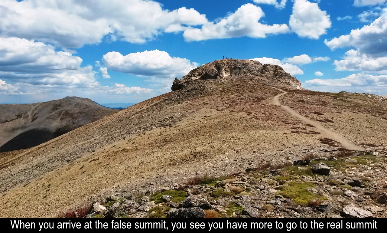
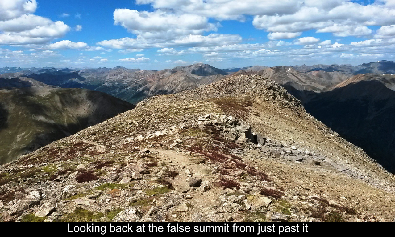
Unfortunately what appears to the the top of Belford from what you see from down in the
gulch is really just a false summit. The real summit is further up and to the left. And
if you're not aware of this, as I wasn't until I was almost to the false summit, it is a
bit deflating. No problem though, once you make the false summit, it's not too bad of a
trek over to the real summit.
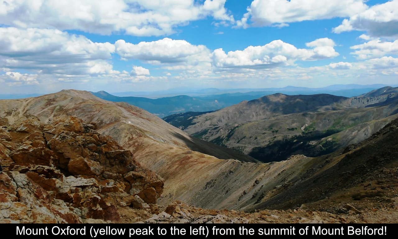
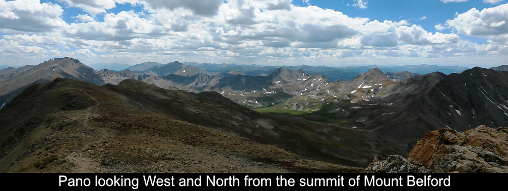
The views from the summit are amazing as they are from all 14ers. To the East you can
see Mount Oxofrd not too far away. Many folks will go for Oxford the same day as Belford
since it's so close. In fact, the standard trail for Oxford is up and over Belford. I elected
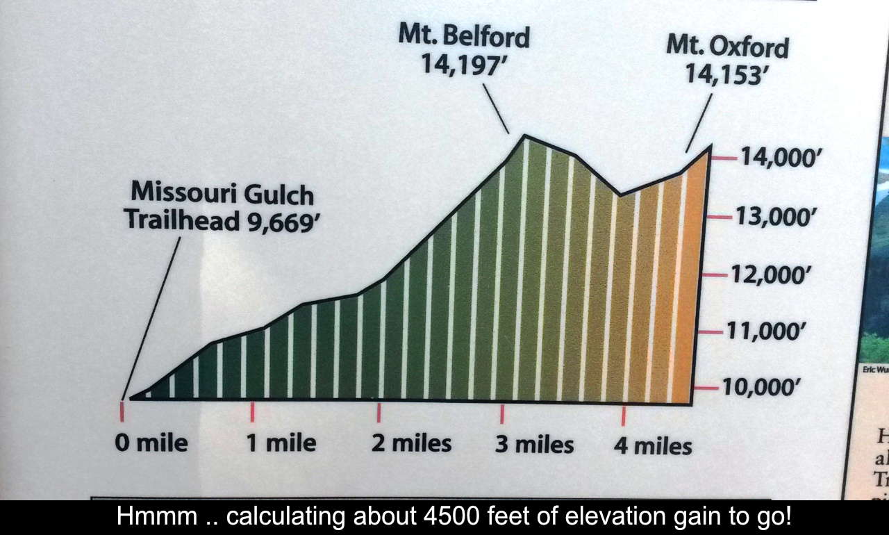
to come back for Oxford another day as it was getting late in the day and I was tired! Just
getting to the top of Belford is 4500 feet of gain. To get Oxford means ascending Oxford then
re-ascending Belford from the Oxford-Belford saddle. All total that adds 3 more miles and
1300 more feet of gain. Oh well, guess I'll have to get Oxford another way.
The way down was easy going as it's not a huge distance, but just down! Had a great day
and really loved Missouri Gulch and Mount Belford.
Hope this has been enjoyable and / or helpful to anyone reading it!!
Comments
Add Comment:
Name:
Comment:
Comments ReCaptcha (to verify you are actually a person)
Please click the ReCaptcha button below. Sorry to do this but we had robots posting spam messages on this blog and this prevents that.